Posts

Archaeology 360: Monea Castle, Co Fermanagh

Image
Monea castle is one of Northern Ireland's iconic castles. It lies in gently undulating countryside, about 4 km to the west of Lough Erne. The major building work of the castle was carried out between 1616 and 1618. However, a Survey of 1619 noted that it was 'a strong Castle of Lime & Stone, being 54ft long & 20ft broad; but hath no Bawne unto it'. This 'Bawn', or outer defensive wall, was not completed until 1622. Its designer and first owner was Scotsman, Malcolm Hamilton, who started off as the Rector of Devenish, before being appointed Chancellor of Down in 1612. Things clearly went well for him as he was made archbishop of Cashel in 1623. But not too well, as Wikipedia records that in 1629 he 'died of an unknown infectious disease', which seems somehow unsettling ... but mostly for Malcolm! The subsequent history of the site has it passing back & forth between Irish and Colonist control for much of the 17th century. It appears to have burnt ...
Archaeology 360: Errigal Keerogue, Co. Tyrone

Image
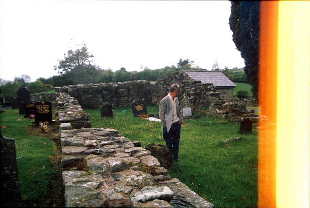
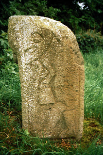
Dr Chris Lynn & Giant Pillar of Light at Errigal Keerogue, 2000 Historical sources suggest that a  St  Chiarog founded a chri stian  monastery here in the 6th century, but  there has probably a been a religious site of some description on this esporgent hill in rural Tyrone for as long as there have been humans to want religion. Today it is a quiet spot, quite a bit off the main road, dominated by the ruin of a late medieval church perched on top of the hill. Inside the church is a replica of a medieval tombstone, possibly representing a knight. However, the real treasure of this fantastic little site stands just to the west of the church building -  an unfinished High Cross of Early Medieval date.  The megalithicireland.com site describes is as having 'Short stubby arms ... slightly protruding from an unpierced ring'. In the right light you can see a set of incised lines marking a ring and concave arms on on the eastern face. On the opposite (west...

Archaeology 360: Killadeas, Co Fermanagh

Image
  Killadeas is a little town in Co. Fermanagh, on the eastern shore of Lough Erne. In the little graveyard of the modern Church of Ireland church. Our little 360-degree tour starts near the large upright Early Christian Cross inscribed stone (with possible bullaun mortar holes on its the back), moves on the pillar/standing stone, past the cross-base (that looks like a large stone donut set on edge in the ground*), and onto the ‘Bishop’s Stone’. The latter has a depiction of a bishop – identified by his bell and crozier – on one broad side and a ’grotesque’ mask on a narrow side. The stone is dated to the Early Christian/Early Medieval period, around the 9th to 10th centuries. When the light is just right and the shadows fall in a particular way, the bishop appears to have a slight wistful smile and almost a twinkle in his ancient eye. I’ve visited this site on many occasions over the years and am always taken by his exquisite, pointy topped shoes. Taken together, these remnants i...

Filming & presenting an archaeological excavation: Thoughts on Must Farm

Image
The photos and videos that came out of the excavations at Must Farm, near Peterborough in Cambridgeshire, during the most recent excavations ( 2015-16)  were some of the most exciting prehistoric images I’ve seen in years – the incredible preservation of features and artefacts stunned both professional archaeologists and the interested public alike. Those excavations uncovered the remains of several Bronze Age houses – set on stilts above the water surface - and an associated defensive palisade and walkway. The evidence indicates that the site was destroyed in a catastrophic fire and that the settlement was abandoned. Wikipedia notes of the excavation that ‘Objects recovered include pots still containing food, textiles woven from lime tree bark and other plant fibres, sections of wattle walls, and glass beads’ [ here ]. Between the BBC documentary, the innovative use of legacy and modern social media, along with a variety of engagement strategies, the operation has garnered a well ...

Archaeology 360: Castlecaulfield Castle, Co Tyrone

Image
At the end of last year (2020) the Chapple Family were driving back to Belfast from a few days away in Fermanagh & Tyrone when we decided to stop off at Castlecaulfield to see the ruins of the Plantation period house there. The core of the standing structures were constructed on the orders of  Sir Toby Caulfeild between 1611 and 1619  [ Wiki ]. The house was burnt down during the 1641 Rebellion and although it was re-inhabited and renovated, it was in ruins by the end of the century. Today it is a windblown, picturesque ruin that seems very popular with local walkers and strollers. Even in its current state, the sheer size of the ruins gives an impression of its former opulence and  grandeur. Naomi Carver and Colm Donnelly's report on the 2011 excavations at the site note [ here ]: Its original plan would have consisted of a main block with two wings, U-shaped in plan, and with a gatehouse at the north-western corner. The manor-house was originally three stories ...

Archaeology 360: Boa Island Figures, Co Fermanagh

Image
  As part of the Chapple Family trip through Fermanagh & Tyrone, we stopped off at the unassuming graveyard of Caldragh on Boa Island. In amongst the small, uninscribed stones and the handful of 19 th and 20 th century headstones is one of the gems of Irish archaeology – the Boa Island figure. This is a so-called ‘Janus’ figure with a face on either side of the stone as wells as the Lustymore Idol – a figure sculpture moved here from a nearby island. Both are probable representations of Iron Age deities and are much better described and explained by Wikipedia [ here ]. The last time I was here with the Chapples Minor was in the summer of 2013. It was a gorgeous day, with wonderful light and I managed to get some acceptable photos of the carvings [ here ]. Unfortunately, the light wasn’t nearly as good on our October 2020 visit and the resulting video doesn’t do justice to these remarkable carvings. However, it does provide the opportunity for a few minutes of relaxation in a ...

Archaeology 360: Clogher Hillfort, Co Tyrone

Image
  At the end of last year the Chapple family headed off to explore the archaeology of Tyrone & Fermanagh and we stopped along the way at Clogher Hill Fort. Clogher is a complex site that, at least, goes back to the Late Bronze Age. The site is located on one of the highest points in the area and sits at an ancient crossroads that would have put it at the centre of traffic, trade, and (ultimately) power. The site itself appear to have started off as a large enclosure defied by a bank and ditch (Hill Fort), with a later ringfort built on top in the Early Medieval period. Away from the main site, on the southern tip of this north-south running hill, is a beautiful ring barrow of Bronze Age or Iron Age date. Between the two is a roughly triangular mound, thought to be used for royal inaugurations. Excavations by the wonderful Richard Warner in the 1970s produced evidence of contacts with the wider world and demonstrate a trade in high value goods, including wine amphorae from the...